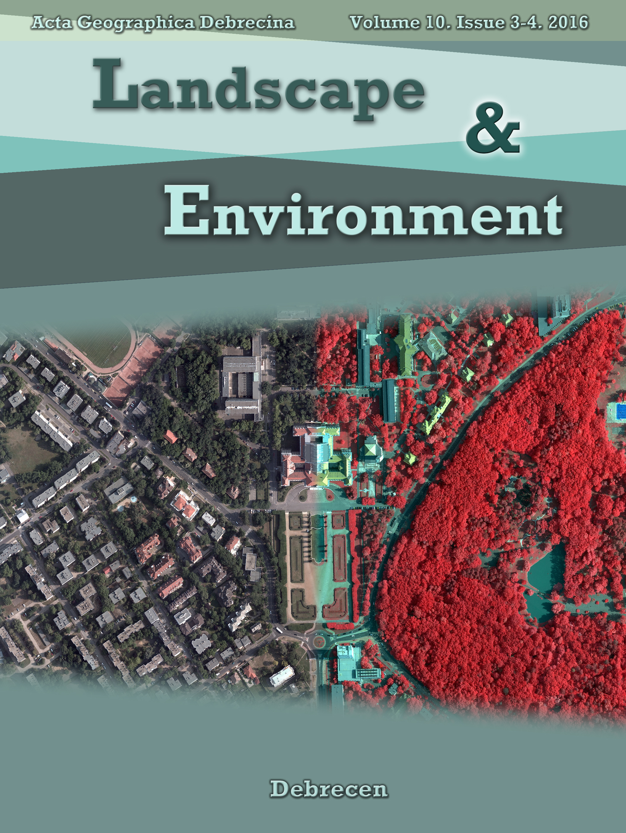
Specific features of NDVI, NDWI and MNDWI as reflected in land cover categories
 https://doi.org/10.21120/LE/10/3-4/13
Authors
View
Keywords
License

This work is licensed under a Creative Commons Attribution-ShareAlike 4.0 International License.
How To Cite
Abstract
The remote sensing techniques provide a great possibility to analyze the environmental processes in local or global scale. Landsat images with their 30 m resolution are suitable among others for landcover mapping and change monitoring. In this study three spectral indices (NDVI, NDWI, MNDWI) were investigated from the aspect of land cover types: water body (W); plough land (PL); forest (F); vineyard (V); grassland (GL) and built-up areas (BU) using Landsat-7 ETM+ data. The range, the dissimilarities and the correlation of spectral indices were examined. In BU – GL – F categories similar NDVI values were calculated, but the other land cover types differed significantly. The water related indices (NDWI, MNDWI) were more effective (especially the MNDWI) to enhance water features, but the values of other categories ranged from narrower interval. Weak correlation were found among the indices due to the differences caused by the water land cover class. Statistically, most land cover types differed from each other, but in several cases similarities can be found when delineating vegetation with various water content. MNDWI was found as the most effective in highlighting water bodies.