
Évf. 4 szám 2 (2017)
Megjelent
augusztus 18, 2017
##issue.tableOfContents##
Tanulmányok
-
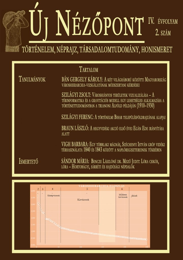
A két világháború közötti Magyarország városhierarchia-vizsgálatának módszertani kérdései
5-29Megtekintések száma:0The identification of the city hierarchy of our home country raises numerous questions,which arises from the complexity of the settlement structure, as well as from the special urban development of the Carpathian Basin. The starting point has been the fact that there was a strong positive correlation between the position in urban hierarchy and the quantity (complexity) of the urban roles (Beluszky–Győri 2005.). The further aim of the study is to depict the network of cities of the interwar Hungary. First, I will study the emerging methodological issues, and I will also try to find solutions for them. The recent study published by Pál Beluszky and Róbert Győri (2005), which examines the 1910 conditions, provides a base to observe the changes in the mentioned structure until 1930. An important element of the present hierarchy study is to separate the downtown data from data of the periphery, as the classical homestead principle had already ceased to exist (Mendöl 1993., Timár 2006.). Another important methodological aspect of the study is the way my computer database is modelling and distorting the whole structure, as well as its levels. Using this method,the study of the interwar urban hierarchy can be put onto new methodological bases, which differ significantly from the earlier domestic research methods.PDF0 -
Városhiányos területek vizualizálása – A térinformatika és a gravitációs modell egy lehetséges alkalmazása a történettudományban a trianoni Alföld példáján (1910–1930)
31-69Megtekintések száma:0The ’digital revolution’ going on in all fields of science in parallel nowadays (in the case of certain disciplines, a ’digital turn’) has opened an interface of interactions in the last few years, which places interdisciplinary topics – among them historical-geographical research – into a new space. The present study attempts to represent through the example of the 19th-20th turn-of-the-century Great Hungarian Plain the economic and social historical opportunities and contexts opening in the mentioned sub-disciplines by the use of GIS, in parallel with the utilization, or deconstruction, of the canonized knowledge. During the research process, it turned out that the gravity potential model can also be used to visualize the results of the calculations in a GIS. The less attracted areas outline the areas, regions lacking cities in a differentiated manner in the resulting map. This method can be used to map 3 regions and 8 areas lacking cities on the Great Hungarian Plain. On the other hand, the results also made it possible to sketch a model of economic structure, which is hoped to draw attention in writing social history.PDF0 -
A történelmi Bihar településföldrajzának alapjai
71-103Megtekintések száma:0In my study, I examine 564 settlements of the historical Bihar, using database analysis and cartographic method. Among the analysed traits of the settlements appear the following: nature conditions (terrain model, altitude and the presence of considerable watercourse), administrative traits (council status, historical-administrative characteristics and territorial extension), settlement geography traits (layout and historical character), and population geography traits (maximum population [population/year]; population in 2011, population change between 1900 and 2011, population change between 2002 and 2011, linguistic and religious composition).The examined traits of the settlements are represented on a map in order to reveal territorial correlations.Besides presenting the past and present states, the study also aims to find answers to the“Why?-s”. -
A hegyvidéki akció első évei Egán Ede irányítása alatt
105-132Megtekintések száma:0The Mountainous Action was the aim of the farming modernization of the Carpathian areas around the turn of the 19th-20th century. The base model was the Swiss type offarming. The idea – and thereby partly the implementation as well – was initiated by Ede Egán, who lead the Mountainous Ministerial Branch Office (established in Bereg county) between 1897 and 1901 that controlled the operation of the settlements of the four northeastern counties: Bereg, Máramaros, Ugocsa, and Ung. The lagging upland farming methods did not accommodate to the facilities, instead, they primarily meant a copying of the lowland farming methods. Besides this, another aim ofthe action controlled by the Ministry of Agriculture was to end landlessness and poverty, and to make a clear sweep of the low level educational standards and literacy. The leasing of land was managed by the entailed lordship of the Schönborn family, with governmental intervention.The Exchequer leased more than 12 000 cad. acre of land in 1897 from the lordship, which was underleased in turn to the local smallholders. This significantly alleviated the land needs of the farmers, and the majority of the leased land was gradually purchased by smallholders. Another part of the land was looked after by the Mountainous Ministerial Branch Office, which was leased primarily for grazing purposes. This version of the lease was calledlabelling. During the late 19th, early 20th century, the upland action in the North-eastern Carpathians meant, on the one hand, a national aid program affecting several areas of life in the struggle against poverty; and on the other hand, recognizing the values of uplandfarming, it provided an improvement opportunity for the inhabitants.PDF0 -
Egy többlaki mágnás, Széchenyi István gróf vidéki térhasználata 1840 és 1843 között a naplóregisztereinek tükrében
133-158Megtekintések száma:0The paradigm shift after the spatial turn took place also in historical studies, during which historians placed the urban space use into the centre of the scope of their research. These research processes use a wide variety of resources. To study the “personal space” and daily movements of particular persons, it is exclusively the diaries that provide a basis –according to Gábor Gyáni. In this study, I aim to track – concentrating primarily on the register data of the Széchenyi Breviary – the nation-wide movements of the “greatest Hungarian” between May 1840 and May 1843, and thereby present the daily space use of a multihomed magnate like Széchenyi. In this work, I enumerate not only the travels of the Count, but also the routes he tookand the vehicles he used. Moreover, in connection with travels starting from Pest and Nagycenk, I also reflect on how much a person’s social relationships and daily routine were affected by space.PDF0
Ismertető
-
Bencze Lászlóné dr. Mező Judit: Lóra csikós, lóra – Hortobágyi, sárréti és hajdúsági népdalok
159-162Megtekintések száma:0PDF0
Adatbázis logók




Lapszámok éves bontásban
2026